Total population
888,675
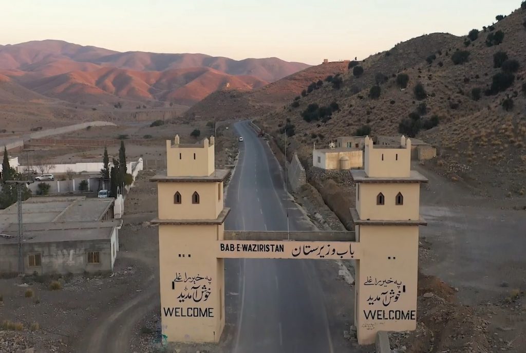
South Waziristan is the largest former tribal district in southern Khyber Pakhtunkhwa, strategically located along the Pakistan–Afghanistan border. Covering an area of approximately 6,620 km², the district is characterized by rugged mountainous terrain and a predominantly rural population. According to the 2023 Population Census, South Waziristan has a population of 888,675, with 100% of its population residing in rural areas, making it one of Pakistan’s least urbanized districts. The profile covers Upper and Lower South Waziristan within Dera Ismail Khan Division.
888,675
6,620 km²
9 tehsils · 97 union councils · 82 villages
| Indicator | Value |
|---|---|
| Total population | 888,675 |
| Tehsils | 9 |
| Union councils | 97 |
| Total area | 6,620 km² |
| Type | Count |
|---|---|
| Schools | 101 |
| Colleges | 5 |
| Facility type | Count |
|---|---|
| Hospitals (DHQ / Category-D / Civil) | 10 |
| Dispensaries | 56 |
| CHCs / RHCs | 4 |
| BHU | 16 |
| MCH centres | 2 |
As per the Khyber Pakhtunkhwa Police website, there are no conventional police stations listed for South Waziristan District.
Established in the district judicial complex.
| Court type | Count |
|---|---|
| Sessions Courts | 3 |
| Civil / Magisterial / Trial Courts | 3 |
| Total courtrooms | 6 |
Typical posting.
| Officer | Count |
|---|---|
| District & Sessions Judge | 1 |
| Additional District & Sessions Judge | 1 |
| Civil Judges (including Senior Civil Judge) | 1–2 |
| Member | Constituency | Name (Party) |
|---|---|---|
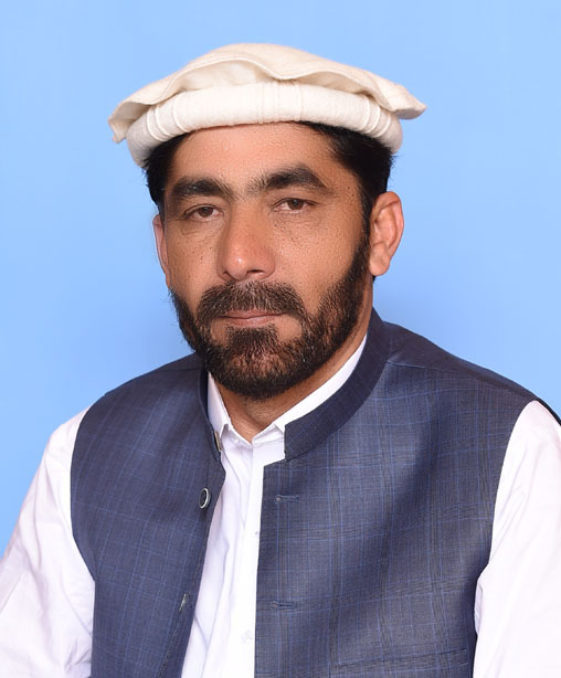 |
NA-42 South Waziristan Upper-cum-South Waziristan Lower | Mr. Zubair Khan (IND) |
| Member | Constituency | Name (Party) |
|---|---|---|
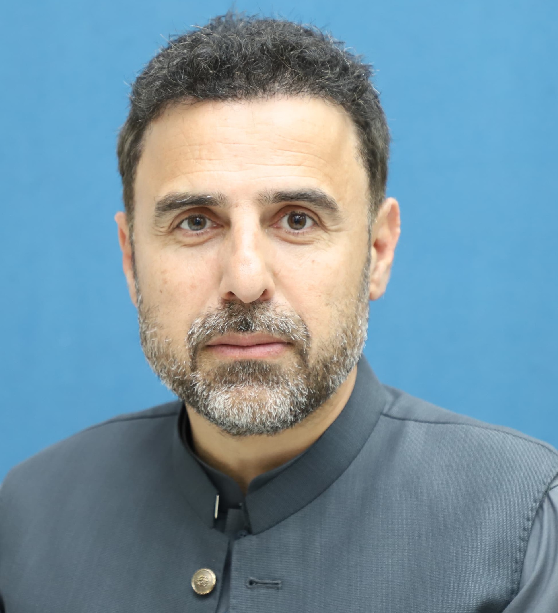 |
PK-109 South Waziristan Upper | Asif Khan |
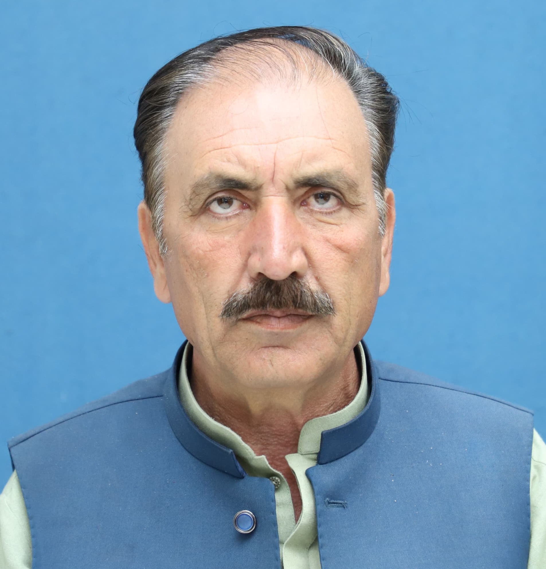 |
PK-110 South Waziristan Lower | Ajab Gul |
Key roads, including the strategically vital Wana–Gomal Zam Road, have remained in severe disrepair for years due to potholes, floods, landslides, and neglect, causing major travel disruptions, safety risks, and economic setbacks.
Acute water shortages, particularly in areas like Wana, threaten agriculture and livelihoods, with declining groundwater levels (dropping 30–40 feet annually in some reports) and many communities facing challenges in accessing reliable clean water.
Heavy pressure on health facilities with limited infrastructure; the district relies on one DHQ and several THQs/BHUs that are often under-resourced or damaged, resulting in poor doctor-to-population ratios and high referral needs for serious cases.
Limited industrialization and reliance on subsistence agriculture/livestock mean few formal employment opportunities; the district faces challenges in job creation amid historical underdevelopment.